For pilots
Spišská Nová Ves aerodrome data, airspace, webcams and the links you need before flying in.
Aerodrome information
A public domestic aerodrome for day VFR flights, operated by Aeroklub Spišská Nová Ves.
Interactive VFR map of Slovakia ↗ Wave flying →- POSITION (ARP)
- 48°56′26″ N, 20°32′01″ E
- ELEVATION
- 1,624 ft (495 m)
- OPERATIONS
- Day VFR, sunrise to sunset
- RADIO
- SPIŠSKÁ TRAFFIC 123.505 MHz
- INFORMATION SERVICE
- BRATISLAVA INFORMATION (EAST) 131.325 MHz
- RUNWAYS
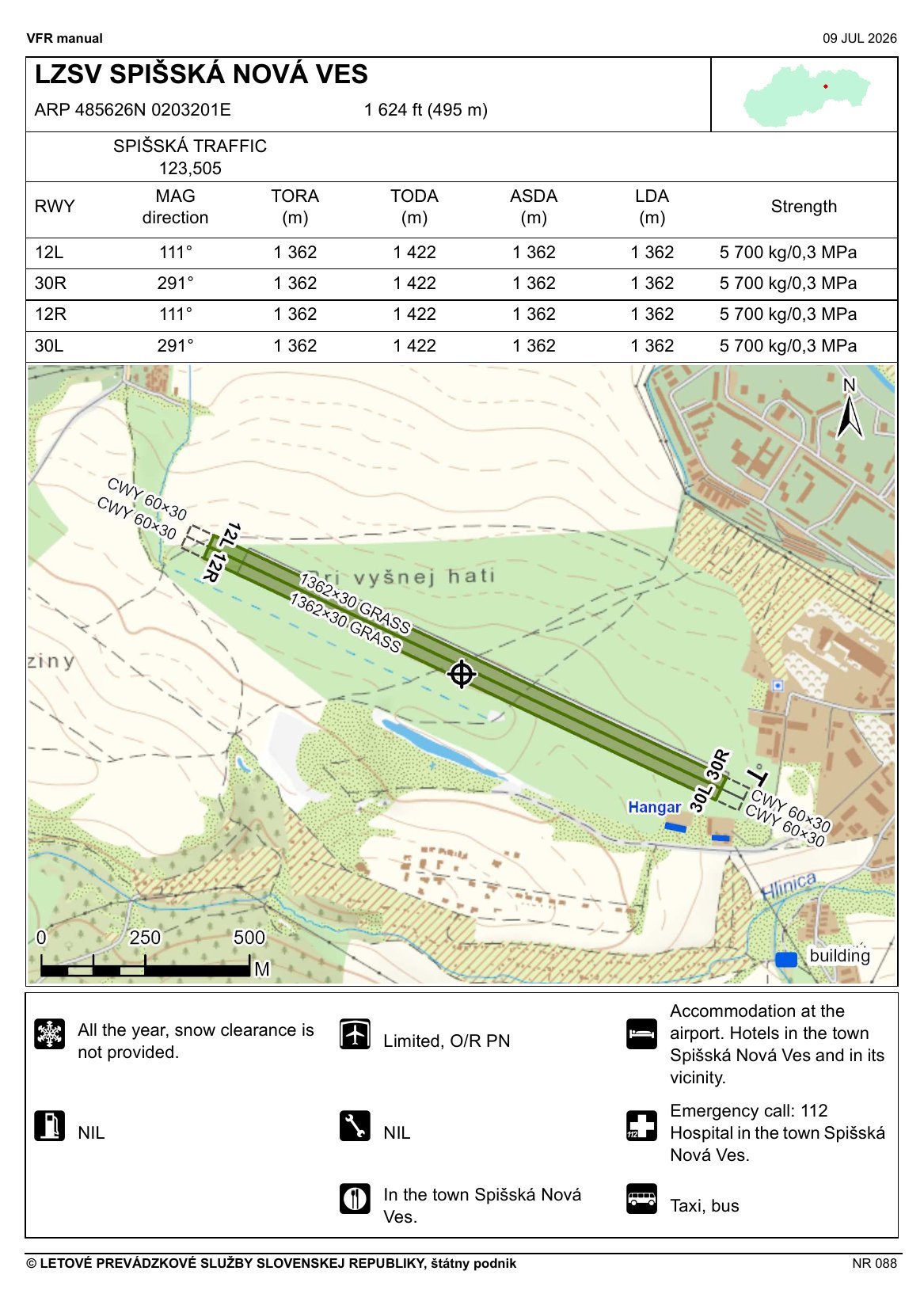
- 12L/30R and 12R/30L, grass, 1,362 × 30 m, MAG 111° / 291°
- CIRCUIT
- For take-offs and landings on runways 30, all turns are made to the right.
- AIRSPACE
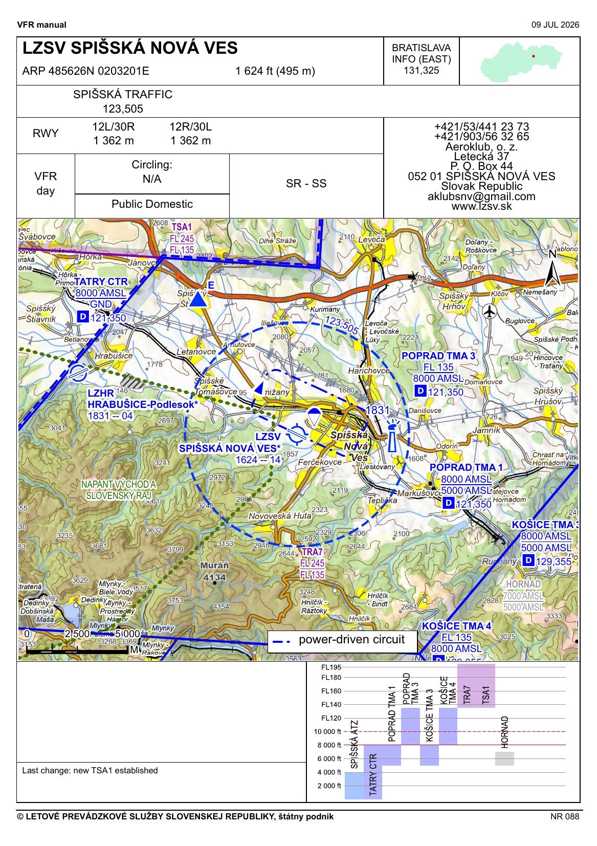
- The aerodrome lies beneath Poprad TMA, next to Tatry CTR. Wave area TSA1 (Vlna 1) lies above it.
- SERVICES
- Hangarage limited, on request. No public refuelling or maintenance service. No winter runway clearance.
- CONTACT
- +421 53 441 2373, aklubsnv@gmail.com
Based on the LPS SR VFR Manual, edition of 9 July 2026. Always check current data in the AIP of the Slovak Republic before flight.
Charts from the VFR Manual
The aerodrome area chart with airspace, and the aerodrome chart with runways. Click to open the full-size image.
© Letové prevádzkové služby SR, š. p. – VFR Manual, edition of 9 July 2026. For information only; use the current edition of the AIP of the Slovak Republic for navigation.
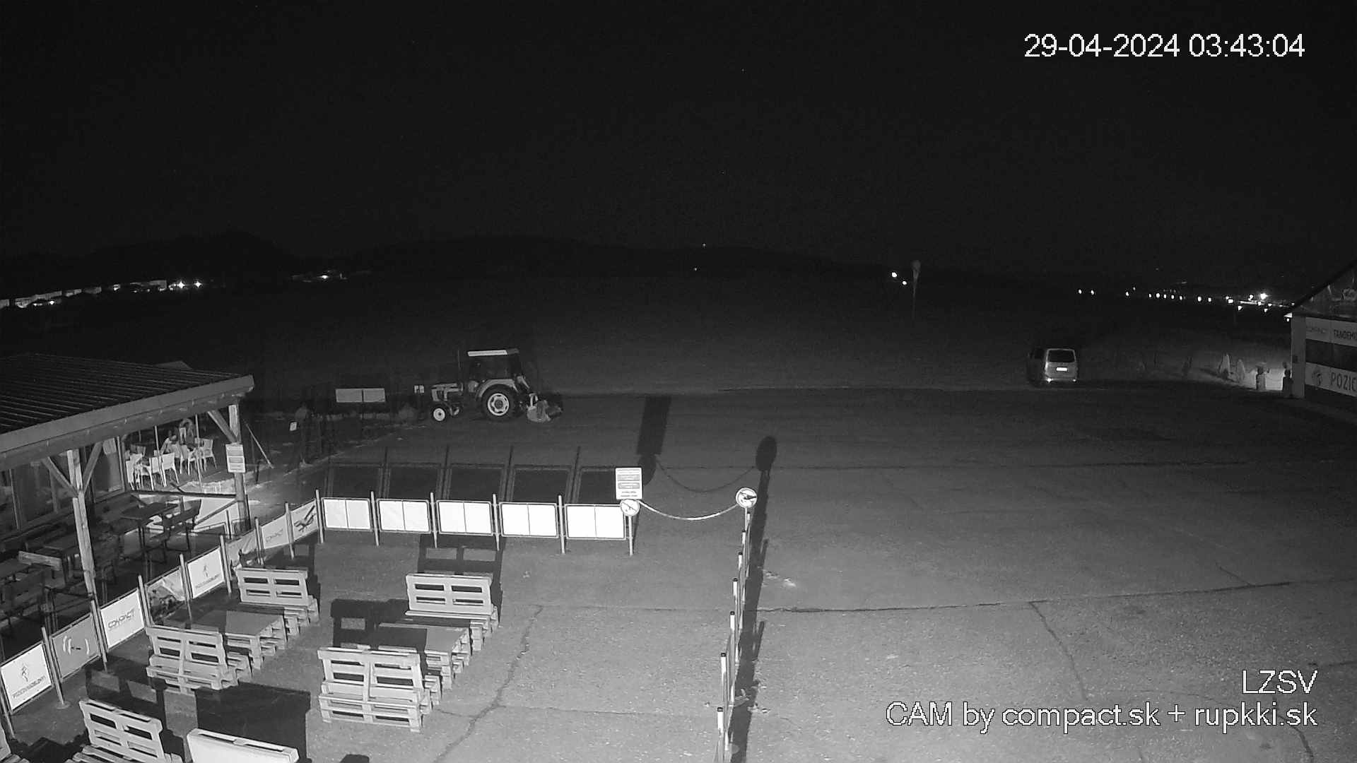
Airfield webcams
See what the airfield looks like right now, before you set off.